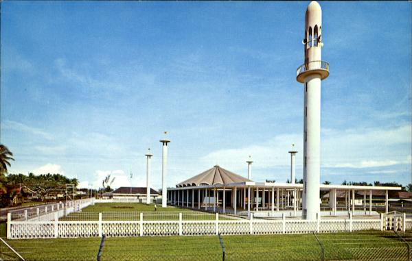
Mukim Kuala Belait is a mukim in Belait District, Brunei. The population was 31,308 in 2016. The mukim encompasses Kuala Belait, the administrative town of the district.
Geography
The mukim is the located in the westernmost part of the district as well as the country. It borders the South China Sea to the north, Mukim Seria to the east, Mukim Kuala Balai to the south-east and the Malaysian state of Sarawak to the south and west.
The primary settlements encompassed by the mukim include Kuala Belait town, Kampong Pandan, Kampong Sungai Teraban and Mumong.
Demographics
As of 2016 census, the population was 31,308 with 53.6% males and 46.4% females. The mukim had 5,819 households occupying 5,659 dwellings. The entire population lived in urban areas.
Administration
As of 2021, the mukim comprised the following villages:
Infrastructures
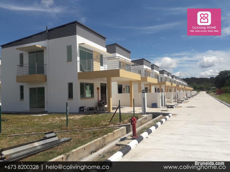
Public housing
There are two public housing estates in the mukim, namely RPN Kampong Pandan and STKRJ Mumong.
Other locations
Other locations within the mukim include:
- Sungai Tujoh - the location of the customs/immigration point at the border with Sarawak, Malaysia
- Rasau - gas field operated by Brunei Shell Petroleum
- The mouth of the Belait River, the longest river in Brunei
- Istana Kota Manggalela, the residence of Sultan Hassanal Bolkiah in Kuala Belait
References