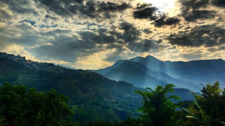
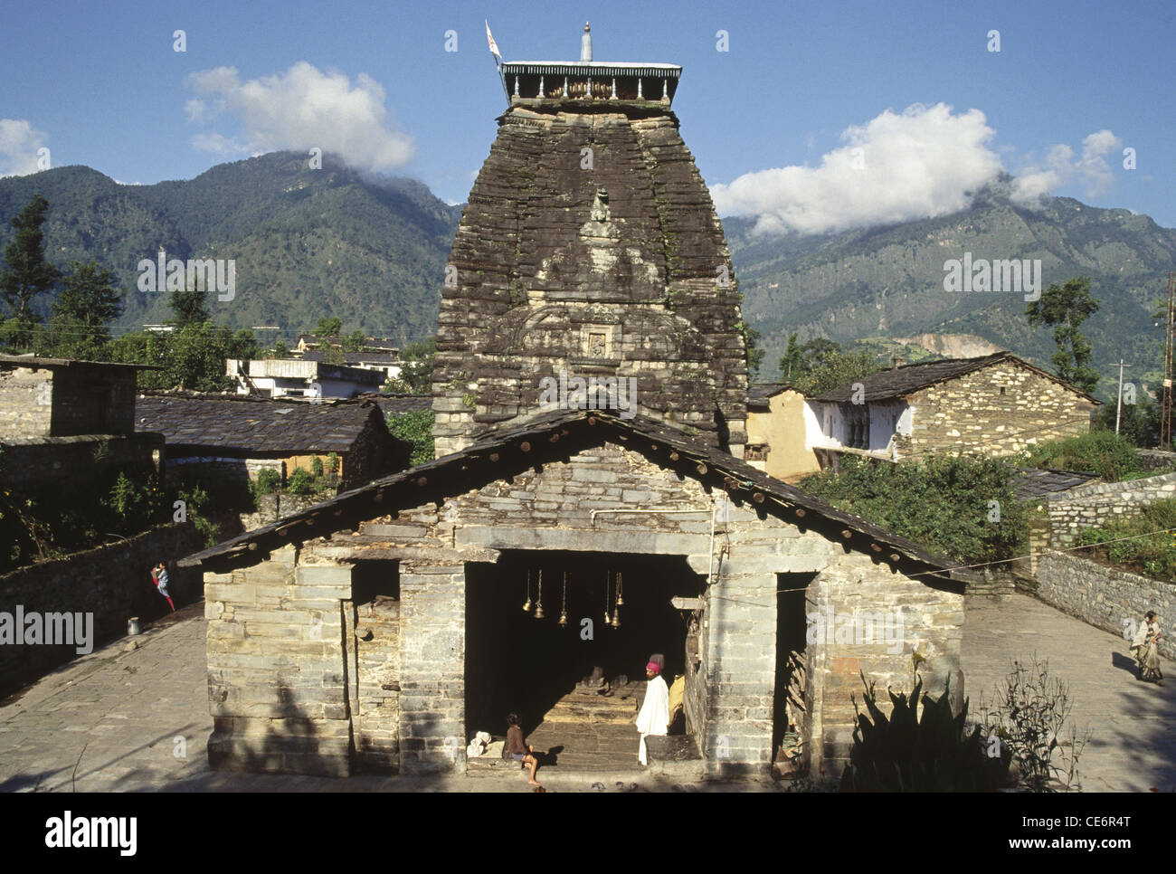
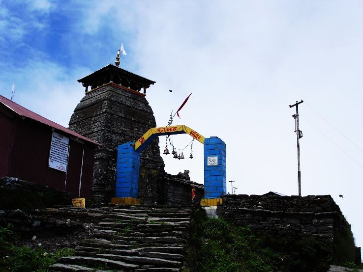
Chamoli Gopeshwar is a township in the Garhwal hills and a municipal board within Chamoli district. It is the administrative headquarters of the Chamoli District of Uttarakhand in India and is 1,450 m (4,760 ft) above sea level.
Geography
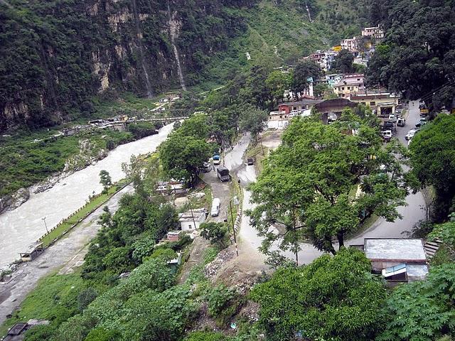
Gopeshwar is located at 30.42°N 79.33°E / 30.42; 79.33. It has an average elevation of 1,450 m (4,760 ft). Gopeshwar is 8.4 km (5.2 mi) away from Chamoli which is located on the banks of Alaknanda river and along NH 58.
Climate
Classified by Köppen-Geiger system as humid subtropical climate (Cwa).
Demographics
According to the 2021 India census, Chamoli Gopeshwar has a population of 41,447. The total number of households are 10513. Males constitute 56% of the population and females 44%. Chamoli Gopeshwar has an average literacy rate of 81%, higher than the national average of 59.5%; with male literacy at 85% and female literacy at 75%. 10% of the population is under 6 years of age.
References
External links
- Gopeshwar, Official website